


Where to track public transport in Kyiv during air alerts and how often the map is updated

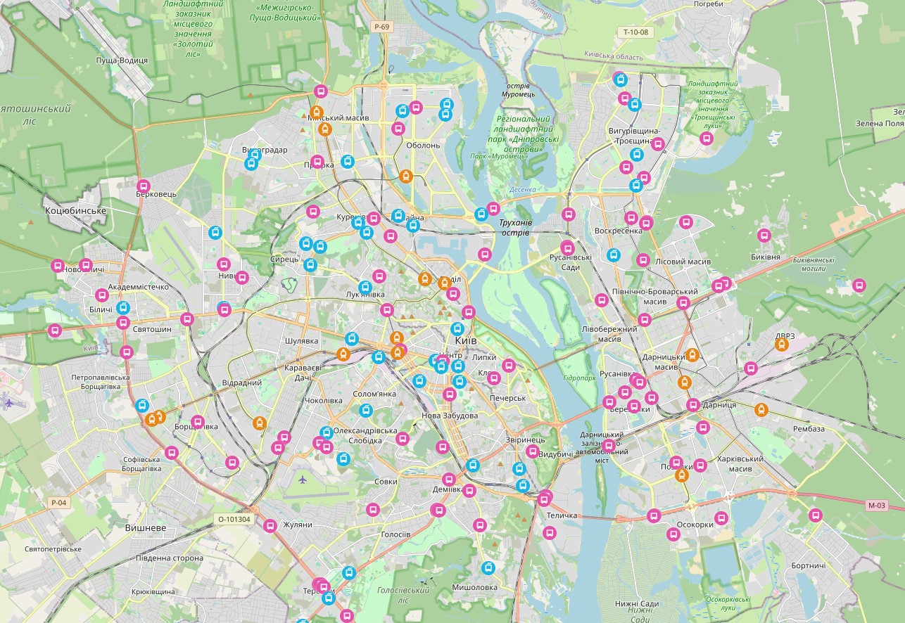
In Kyiv, passengers can track the movement of surface public transport online even during air alerts. This applies to all buses, trams, and trolleybuses of 'Kyivpastrans' operating on the capital's routes, including buses over the Southern Bridge. The Kyiv City State Administration reports this with reference to 'Kyivpastrans'.
How the transport map of Kyiv works during air alerts
When satellite navigation is unstable, the system uses other data sources. According to acting General Director of 'Kyivpastrans' Tetiana Tarasko, the program processes the signal and displays the location of the transport on the map taking into account its route.
During alerts, markers are updated every three minutes. Dispatchers monitor the movement on the lines based on this data, and passengers can check where the transport is located. During route changes in Kyiv, the map helps to orient where a specific bus, tram, or trolleybus is heading.
Where to track buses, trams, and trolleybuses in Kyiv
The map is available in the «Transport online» section on the 'Kyivpastrans' website. The system has already been tested and operates in normal mode. The enterprise plans to reduce update intervals during alerts to one or two minutes.
If electric transport is temporarily halted on the line, it is advisable to check separately whether buses are designated as replacements for trams and trolleybuses.

Read also