The Best Online War Maps in Ukraine: How to Monitor the Situation at the Front

Journalist
Anna Tkach
15.12.2025 - 07:10
757 viewed
According to glavcom.ua: The site 'Glavcom' has prepared a selection of the best online combat maps in Ukraine. This will help to better understand the situation at the front, track the direction of battles, and monitor the gradual liberation of our territory by the Armed Forces of Ukraine.
Contents
- Deep State Map Combat Map
- Liveuamap Combat Map
- ISW (Institute for the Study of War) Combat Map
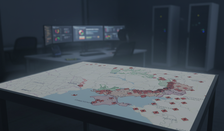
Deep State Map Combat Map
Symbols on the Deep State Map:
- blue: territory liberated in the last two weeks
- green: liberated territory
- gray: territory requiring clarification
- red: territory occupied by Russians
- dark red: territory of Crimea and ORDLO
- light red: occupied territories of other states
The Deep State Map also shows railways, units, headquarters, airfields, and directions of attack.
Liveuamap Combat Map
Symbols on the Liveuamap:
- red: territory occupied by Russians
- blue: territory liberated from Russians
Liveuamap marks important military facilities and events on the map.
ISW (Institute for the Study of War) Combat Map
ISW analyzes the Russo-Ukrainian War and updates the combat map.
Symbols on the ISW Map:
- black: occupied Crimea and ORDLO
- red: occupied territories during the war
- red dashed: seized lands within 24 hours
- blue dashed: liberated lands within 24 hours
- blue dashed: counteroffensive of Ukraine
Don't forget that we are at war. Follow official sources, avoid fakes and misinformation. Support our army and believe in victory!
Read also
Ukraine has launched a unique Sandbox for all technologies
today, 16:45
25 viewed

Ukraine's Foreign Minister Declares Iran Accomplice to Aggression, Convenes UN Security Council
today, 16:28
31 viewed
Trump and Zelensky Agree to Meet Next Tuesday
today, 16:25
38 viewed
Trump Declares Iran's Military Routed, Yet Holds Back on an Agreement
today, 16:21
39 viewed

Kazakhstan's Tokayev Says Reasons for Russia's War in Ukraine Are 'Incomprehensible'
today, 16:17
40 viewed