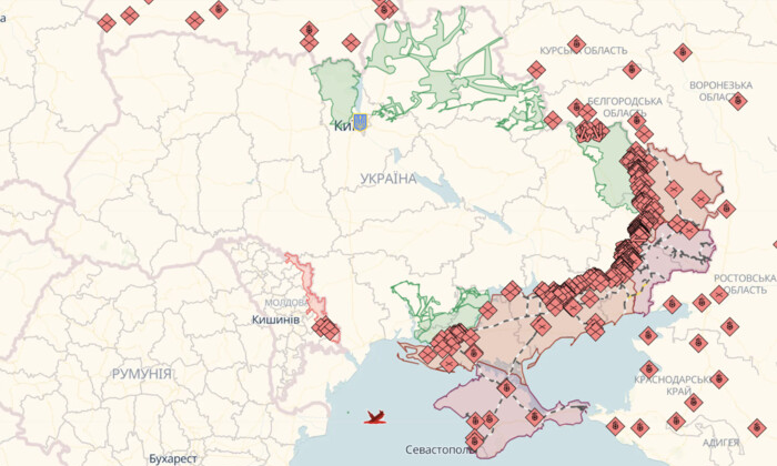
Online Combat Map in Ukraine as of July 30: Frontline Situation

According to glavcom.ua: The 'Glavkom' website reported on the best online combat maps in Ukraine that help better understand the frontline situation and track the liberation of Ukrainian territories by the Armed Forces of Ukraine.
Deep State Map Combat Map
Legend on the Deep State Map:
- blue: territory liberated in the last two weeks
- green: liberated territory
- gray: territory requiring clarification
- red: territory occupied by Russians
- dark red: Crimea and ORDLO territory
- light red: occupied territories of other states
The DeepStateMap also displays railways, units, headquarters, airfields, and enemy attack directions.
Liveuamap Combat Map
Legend on the Liveuamap:
- red: territory occupied by Russians
- blue: territory liberated from Russians
The Liveuamap displays important military objects of the enemies and military-political events.
ISW Combat Map (Institute for the Study of War)
ISW constantly updates the combat map and analyzes the course of the war.
Legend on the ISW Map:
- black: occupied Crimea and ORDLO
- red: occupied territories
- red dashed: territories captured by occupiers in the last 24 hours
- blue dashed: territories liberated in the last 24 hours
- light blue dashed: counteroffensive and resistance
Dear citizens!
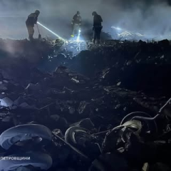
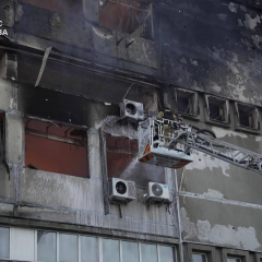
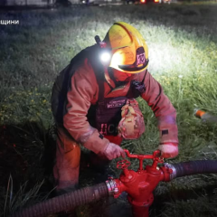
Currently, a full-scale war unleashed by the Russian Federation continues in Ukraine. The situation remains tense and changes. It is important to follow official sources.
Avoid unverified data. Disinformation and fakes are the enemy's weapon. Keep an eye on updates from the authorities.
Stay calm, trust official sources. Together we will defeat the enemy!
Glory to Ukraine!
The article presents an overview of the best online combat maps in Ukraine that help better understand the situation on the front and track the liberation of Ukrainian territories from occupiers. Each map has its own legend and information, allowing the public to receive timely information about the development of events.
Read also