Air Raid Alerts Online: 5 Best Maps for Monitoring the Situation in Ukraine

According to glavcom.ua: Air raid maps in Ukraine
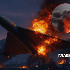
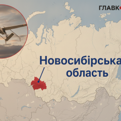
Since the full-scale invasion of Russia into Ukraine, which began on February 24, 2022, the air raid alert signal informs Ukrainians about potential threats.
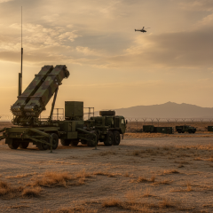
To provide timely information about possible threats, interactive online air raid maps were created to learn in real-time about dangers in the region.
“Glavkom” has compiled the best air raid maps in Ukraine so you can conveniently monitor the situation online and respond to potential threats in time.
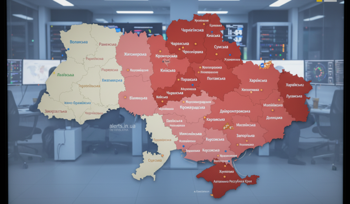
Official Air Raid Map of Ukraine
Symbols on the official alarm map:
- red: air raid alert
- orange: threat of artillery shelling
- green: threat of street fighting
There is also a mobile app 'Air Raid' for Android and iOS, where you can select a region to receive alerts specifically for it.
Air Raid Map of Ukraine 🇺🇦
Symbols on the Ukraine raid map:
- red: air raid alert
- orange: threat of artillery shelling
- green: threat of street fighting
This map pulls data from the official 'Air Raid' channel on Telegram.
Emergency Situations Map
The Emergency Situations Map contains information on:
- air raids;
- chemical threats;
- radiation hazards;
- artillery threats;
- street fighting;
- fire hazards;
- flooding and inundation;
- snowfalls and icy conditions;
- gale-force winds.
Yemap | Air Raid Map in Ukraine
Symbols on this simple alarm map:
- orange: air raid declared
- blue: no alert in the area
This air raid map is updated every 15 seconds.
Sirens Map in Ukraine kopiyka.org
Symbol legends:
- red: alarm declared
- gray: no alert present
You can also set alerts for your chosen area.
Ukrainians use interactive online air raid maps to quickly receive information about potential threats in the area and respond to them. Emergency maps allow for better navigation in difficult circumstances and taking appropriate measures to ensure safety.
Read also