

BELA Laser Altimeter Activated to Prepare for Detailed Mapping of Mercury


After Ten Years of Anticipation: Instrument Begins Readiness for Planetary Mapping
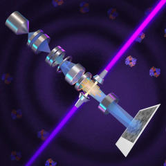
According to Radiotrek — Світ: Scientists have successfully powered up the BELA laser altimeter aboard the BepiColombo mission, currently positioned roughly 200 million kilometers from Earth. This instrument is designed to measure Mercury’s surface with precision by sending infrared laser pulses to the planet and timing their return. By calculating the pulse travel time, BELA will produce an accurate 3D topographic map of Mercury’s terrain.
Initial laser tests were conducted incrementally, ranging from brief 10-second trials to over an hour of continuous operation. These evaluations confirmed the system’s reliability and that temperature conditions remain within acceptable limits. The mission’s primary scientific phase is scheduled to start on April 6, 2027, at which point BELA will commence comprehensive surface mapping. Launched on October 20, 2018, BepiColombo is now prepared to advance its exploration with the laser altimeter fully operational.
The Significance of the BepiColombo Mission
BepiColombo plays a critical role in exploring our Solar System’s innermost planet, Mercury, which exhibits unique geological and atmospheric features due to its proximity to the Sun. Detailed mapping of its surface will enhance scientists’ understanding of planetary evolution and how solar influences shape planetary environments. Activating BELA marks a crucial milestone in uncovering new insights about Mercury’s mysteries.

Read also