

Not Every Mountain Breaks the Same Way in an Earthquake: Chinese Research Reveals Why

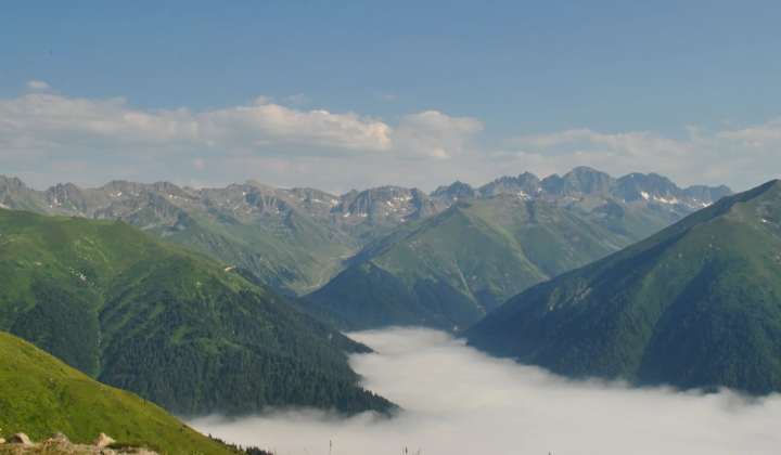
Terrain Is the Judge: Why Comparable Earthquakes Leave Different Marks on Mountains
According to НВ — Техно: Published: August 19, 22:10
Chinese researchers have discovered that the geometry of mountain slopes and the way they connect to river channels determine how deeply a major earthquake tears into the land. The finding comes from an examination of the effects of the 1717 mega-earthquake on New Zealand's Alpine Fault, reported in the journal Geology.
Scientists at the Institute of Earth Environment studied sediment from the floors of Lakes Mapourika and Paringa. By using geochemical signals-carbon and nitrogen isotopes, plus molecular biomarkers-they could distinguish organic matter washed in from the surface from material originating in deeper soils and bedrock. In Lake Mapourika, which lies in a steeper basin, deep-seated landslides had transported rock fragments to the lake bottom both before and after the quake, and the earthquake sharply increased the amount of deposited debris. In Lake Paringa, set in more gently sloping terrain, surface soil erosion dominated until the event; after the shaking, the dominant process shifted to the breakdown of deeper layers.
The two lakes share the same climatic and geographical settings, yet their damage patterns were completely different. As Wang Jin, the study leader, put it:
“Earthquakes do not affect every mountain equally.” - Wang Jin
This insight may help scientists better understand how natural disasters reshape landscapes and improve predictions of future impacts. For anyone concerned with seismic safety in mountain regions, it also emphasizes that the local terrain is an active part of the hazard, not just a passive stage.
The work could change how earthquake-related risks are assessed and how natural resources are managed in mountainous areas. Knowledge of the interplay between landscape shape and water systems during catastrophic events could support more effective environmental conservation and lower the damage from future earthquakes. It may also serve as a foundation for further geological and ecological research, deepening understanding of the dynamics of the Earth's crust.

Read also