

From space to storm warnings: water-isotope data sharpen five-day weather forecasts

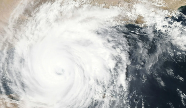
Fresh eyes for weather models
According to НВ — Техно: Atmospheric water isotopes can buy forecasters several days of extra insight
Publication date: September 3, 21:32
Already impressive as computer models have become, anticipating extreme rainfall remains one of meteorology's hardest challenges. In a first-of-its-kind result, scientists from the University of Tokyo and the U.S. National Oceanic and Atmospheric Administration (NOAA) have shown that satellite readings of water-isotope levels in water vapor can strengthen weather forecasts. The technique helps pin down atmospheric conditions with greater accuracy as much as five days ahead, especially where severe rain threatens. The findings are published in Communications Earth & Environment.
What heavy water reveals about the atmosphere
Isotopes are forms of an element that differ in their number of neutrons. Heavy water-which contains heavier isotopes of hydrogen or oxygen-is present in the atmosphere only in tiny amounts. Compared with ordinary water, it evaporates less readily and, once condensed, returns to Earth faster as precipitation. As an air mass moves, the ratio of heavy to normal water shifts, giving scientists a useful fingerprint of where the moisture originated and what processes altered it in transit.
To incorporate such satellite measurements into forecasting equations, the team applied data assimilation, a technique that blends observations with model output. The extra information sharpened calculations of wind speed and direction, temperature, and overall humidity. The biggest obstacle was creating an algorithm that could separate isotope signals from other atmospheric effects and convert them into meteorological variables. Existing real-time forecasting systems are not yet designed to ingest isotope data, so integrating it into daily operations remains a practical hurdle.
The researchers are hopeful that falling satellite launch costs will enable these measurements to become part of routine forecasting. Their approach could noticeably improve predictions, particularly in situations that call for anticipating flash floods or torrential rain.
This work gives meteorology a new way to look at the atmosphere, and reliable forecasts are vital for limiting the harm caused by extreme natural events.
Isotope-based monitoring may become a key resource for forecasters in regions regularly exposed to dangerous weather. Follow-up studies could lead to forecasting techniques that allow emergency services and communities to respond more nimbly as conditions evolve in real time.
In addition to enhancing weather forecasts, advanced satellite techniques are also being utilized for coastal studies. For instance, researchers in Munich have developed a comprehensive tidal map for various beaches using satellite imagery. This innovative approach allows for better understanding and management of coastal environments, which is crucial in the face of climate change. Learn more about this groundbreaking research here.

Read also