Air Alarm Online: Top 5 Maps for Monitoring the Situation in Ukraine

According to glavcom.ua: Since Russia invaded Ukraine, alarm signals have been continuous to warn citizens about potential dangers.
To promptly receive information about potential threats, interactive online air alarm maps have been created, allowing real-time viewing of the situation in the region and taking necessary measures.
Best Online Air Alarm Maps in Ukraine
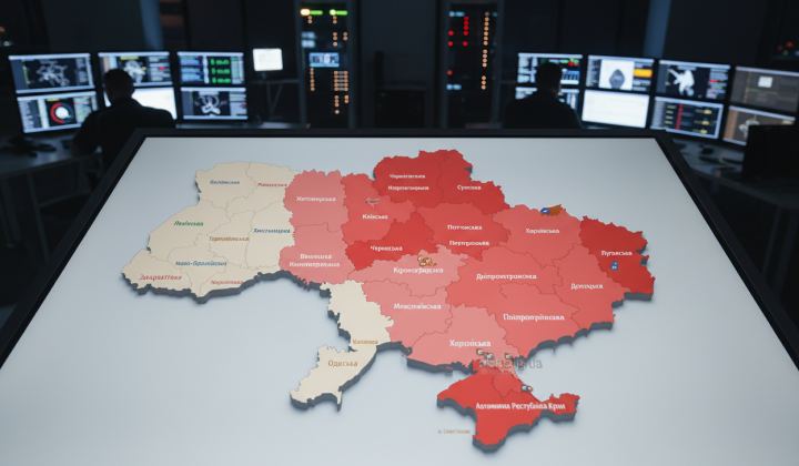
Official Air Alarm Map of Ukraine
The red color on this map indicates an air alarm, orange indicates the threat of artillery shelling, and green indicates the threat of street fighting.
A mobile app called 'Air Alarm' is also available for Android and iOS to receive alarm notifications in the selected region.
Air Alarm Map of Ukraine 🇺🇦
This map also displays air alarms, threats of artillery shelling, and street fighting.
Emergency Situations Map
Map of Air Alarms in Ukraine by Emapa
Map of Sirens in Ukraine kopiyka.org
These maps help obtain information about alarms, chemical threats, radiation hazards, street fighting, fire hazards, floods, and other situations.
During the conflict in Ukraine, several online air alarm maps have been developed to promptly inform citizens about potential dangers in their territory. These resources allow people to stay informed about the situation and take necessary measures to ensure the safety of themselves and their families.
Read also