


Events
Advertisement
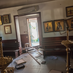
03.07.2026 - 05:36
584 viewed
Kyiv Church of Moscow Patriarchate Damaged in Major Russian Attack, Casualties Reported
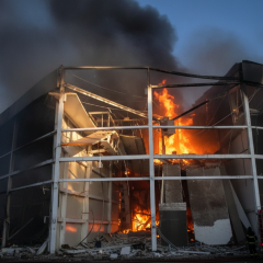
03.07.2026 - 04:36
730 viewed
Overnight Fire Engulfs Meat Processing Plant in Zaporizhzhia After Russian Drone Strike
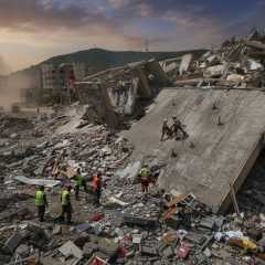
03.07.2026 - 04:20
600 viewed
Satellite Data Reveals 30 cm Ground Shift After Venezuela Earthquakes, ESA Reports
Venezuela Earthquakes: Impact and Response The European Space Agency has released satellite imagery showing the aftermath of two powerful earthquakes that struck Venezuela last week. The image was created using observations from Sentinel-1 satellites, part of the European Copernicus program. To prod...
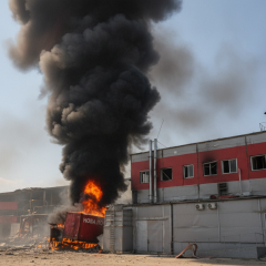
03.07.2026 - 03:57
692 viewed
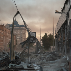
Logistics Hub of Nova Poshta Destroyed in Russian Strike on Kyiv
03.07.2026 - 03:08
604 viewed
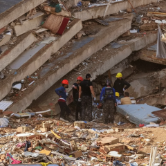
Mother of Famous Ukrainian TV Host Tala Kalatai Survives Being Trapped Under House Rubble After Kyiv Attack
03.07.2026 - 02:44
611 viewed
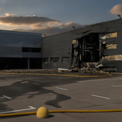
Venezuela Earthquake Death Toll Climbs to 2,295 as Devastation Unfolds
03.07.2026 - 02:36
638 viewed
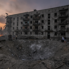
Overnight Strike on Kyiv Region Destroys Porsche Dealership, 11 Dead
03.07.2026 - 02:00
655 viewed
Deadly Overnight Strike on Kyiv: 11 Killed, Over 30 Wounded

03.07.2026 - 01:28
562 viewed
Explosive Operations Scheduled at Granite Deposit in Kyiv Region on July 2
03.07.2026 - 01:20
529 viewed
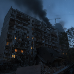
Massive Russian Strike on Kyiv Claims 13 Lives, Injures Dozens
03.07.2026 - 00:52
599 viewed
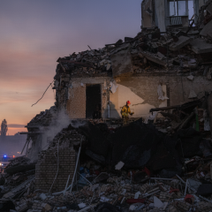
13 Killed in Russian Attack: Kyiv Declares July 3 a Day of Mourning

03.07.2026 - 00:32
537 viewed
Man Fires Shotgun in Lviv, Later Threatens Woman with Weapon
02.07.2026 - 22:56
695 viewed
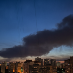
Massive Russian Strike Paralyzes Kyiv's Electric Transit Network
02.07.2026 - 22:00
582 viewed
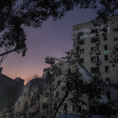
Explosion Rocks Kyiv After Nearly 11 Hours of Continuous Air Raid Alerts

02.07.2026 - 20:52
584 viewed
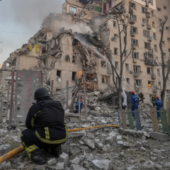
Kyiv Under Fire: Ambulance Substation Hit in Night Attack, Casualties Reported
02.07.2026 - 18:24
531 viewed
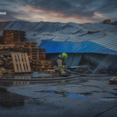
Drone Attack on Kyiv: Air Defense Systems Active Over the Capital
02.07.2026 - 15:00
519 viewed
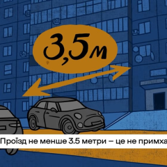
Drivers Urged Not to Block Emergency Vehicles: New Appeal from Ukraine's Rescue Service
02.07.2026 - 11:29
664 viewed
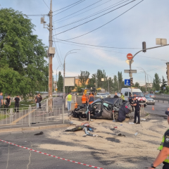
Russian Missile Strike on Odesa Region Leaves 2 Dead and 13 Wounded
02.07.2026 - 11:01
513 viewed
Ukraine Set to Impose Drastic Fines for Speeding Violations

02.07.2026 - 10:40
563 viewed
Public transport in Zaporizhzhia will change routes on July 2 due to repairs
Press release
02.07.2026 - 10:12
589 viewed
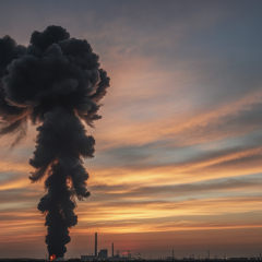
Deadly Ballistic Strike Hits Odesa Region: Two Killed, Dozens Wounded
02.07.2026 - 09:52
543 viewed
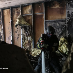
Drone Strike in Kherson Kills One Woman, Injures Ten
02.07.2026 - 08:28
455 viewed
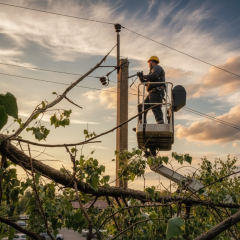
Over 30,000 Households in Kyiv Region Remain Without Power After Severe Storm
02.07.2026 - 04:44
626 viewed
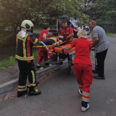
Fatal Crash in Kyiv Caused by Unlicensed Driver
02.07.2026 - 00:32
529 viewed
Woman Falls from Balcony During Apartment Fire in Kyiv




Advertisement
Advertisement